The goal of perumapas is to have an easy way to draw maps with peruvian shapes.
Installation
You can install the released version of perumapas from the calderonsamuel r-universe with:
install.packages("perumapas", repos = 'https://calderonsamuel.r-universe.dev')Example
This is a basic example which shows you how to solve a common problem:
# messages were removed
library(perumapas) # usar siempre junto con sf
library(sf) # obligatorio!
library(ggplot2) # for plotting
library(dplyr) # for filtering
You can create maps easily.
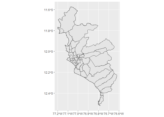
mapa_distrital has avaiable the ubigeo field to easily join/merge with another dataset.
head(mapa_distrital, 10)
#> Simple feature collection with 10 features and 4 fields
#> Geometry type: MULTIPOLYGON
#> Dimension:     XY
#> Bounding box:  xmin: -79.93157 ymin: -7.39816 xmax: -78.8421 ymax: -6.784193
#> Geodetic CRS:  WGS 84
#>    departamento  provincia     distrito ubigeo                       geometry
#> 1     CAJAMARCA  CONTUMAZA     GUZMANGO 060504 MULTIPOLYGON (((-78.91578 -...
#> 2     CAJAMARCA SAN MIGUEL     EL PRADO 061105 MULTIPOLYGON (((-79.01679 -...
#> 3     CAJAMARCA SAN MIGUEL       NIEPOS 061109 MULTIPOLYGON (((-79.21691 -...
#> 4     CAJAMARCA SAN MIGUEL SAN GREGORIO 061110 MULTIPOLYGON (((-79.08233 -...
#> 5     CAJAMARCA  SAN PABLO     SAN LUIS 061203 MULTIPOLYGON (((-78.87623 -...
#> 6    LAMBAYEQUE   CHICLAYO         ETEN 140103 MULTIPOLYGON (((-79.84212 -...
#> 7    LAMBAYEQUE   CHICLAYO  LA VICTORIA 140106 MULTIPOLYGON (((-79.83314 -...
#> 8    LAMBAYEQUE   CHICLAYO      LAGUNAS 140107 MULTIPOLYGON (((-79.66093 -...
#> 9    LAMBAYEQUE   CHICLAYO      MONSEFU 140108 MULTIPOLYGON (((-79.78014 -...
#> 10   LAMBAYEQUE   CHICLAYO   SANTA ROSA 140114 MULTIPOLYGON (((-79.89631 -...
To learn how to use mapa_regional and mapa_provincial see vignette('basic-usage').
Shapefiles source
The shapefiles for mapa_distrital were obtained from https://www.geogpsperu.com/2019/05/limite-distrital-actualizado-inei.html